
In my last post I briefly introduced myself (#PrimaDeAfuera), described the work I do, and highlighted some of the people who help make my time here at MSU possible. In this post, I share more about the project I want to work on for the remainder of the CHI Fellowship.
To start, I’ll share that I had a rough project idea at the start of this fellowship. This idea was full of excitement about using VR and 360º projection to immerse an audience in the complex cultural, visual, historic, and sonic landscapes of Borinkén (Puerto Rico); just 1 of 14 US territories (aka colonies). I wanted to create a project that would simultaneously showcase the power of traditional ecological knowledge (TEK) living within the shadow of settler colonialism and the realities of being responsible for and to those knowledges. I still want to do this and am still exited about these aforementioned possibilities.
BUT after working in two different teams to design and implement two different Rapid Development Projects under the guidance of Dr. Watrall, I started thinking of my final project differently. Drawing on a strengthened set of technical and organizational (or project management) skills, I created a more refined project plan. One which is possible within the timeline of this fellowship, one that will allow me to further dissertation research, and one that will prepare me for future research projects (within and beyond academia). In this current version of my project plan, I channel a deep curiosity about the multifaceted and overlapping realms of sustainability studies, TEK, climate justice, science communications, and natural resrouce management (big nerd energy!) into a strong focus on a single event in the vast history of land in Borinkén (aka Puerto Rico).
The short title for my project is tentatively: (Un)Mapping the (Settler) Colonial Forest.
A longer project title is tentatively (Un)Mapping the (Settler) Colonial Forest: 19th Century Spanish and US Settler Colonial Forest Conservation and Control in Borinkén. VR or 360º is no longer the main vehicle for the project, but it’s still very possible in future project iterations. In the remaining time of the fellowship, I plan to create a Story Map using Map Box to visualize a narrative about the creation and maintenance of The Maricao State Forest located in the western central mountain region of the big island of Borinkén.
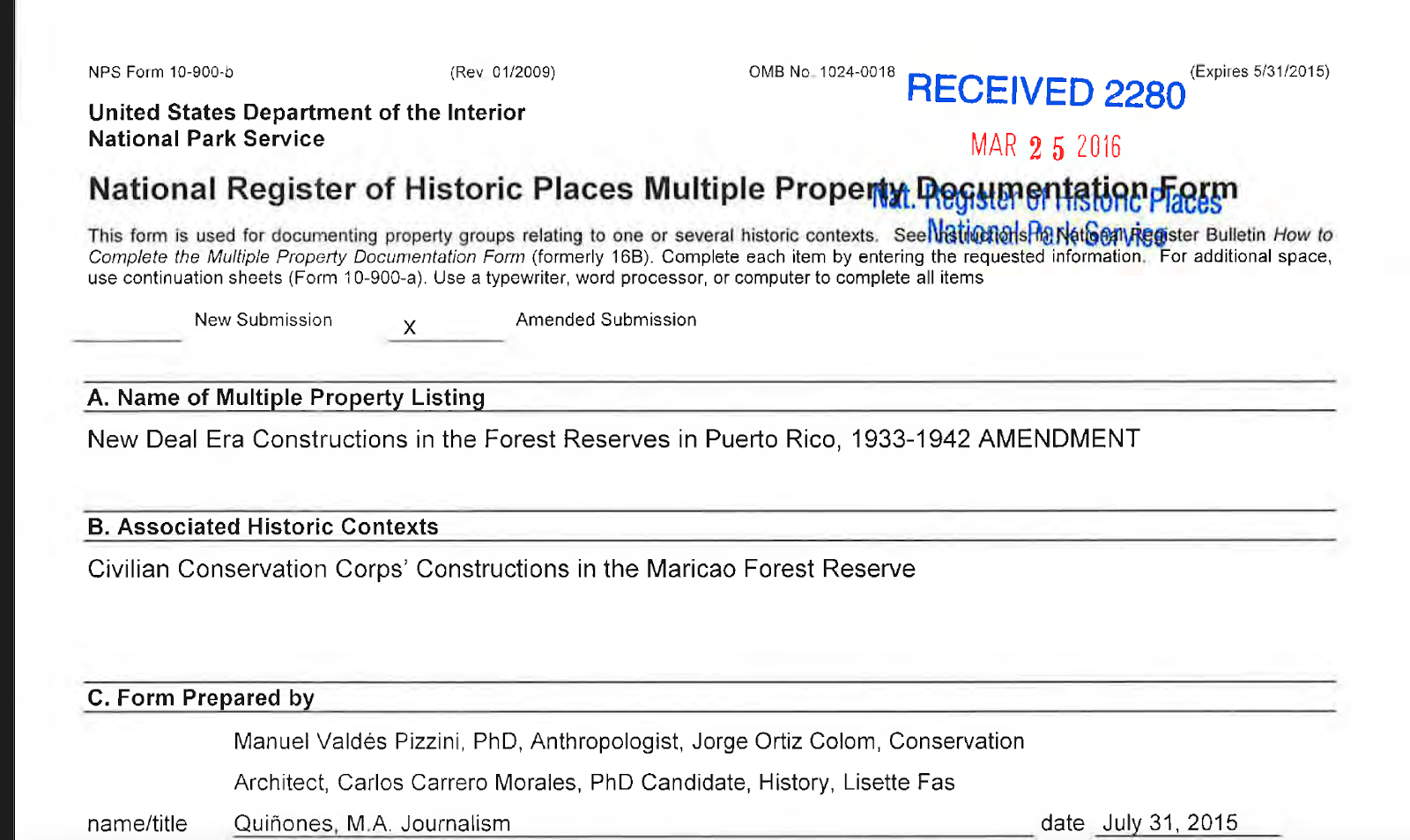
This narrative is important because New Deal Era forestry policies and practices continue to shape the social, cultural, and political landscape of Borinkén.
In addition to thinking of this project as a way to map (and re-map) a story about The Maricao State Forest, I also conceptualize this project as call to sit with questions about how management of natural resources undermines and/or affirms Afro/Indigenous sovereignty in Puerto Rico. I hope to situate this work in conversation with others who are creating sovereign possibilities and climate change adaptation capacity under unique, but interrelated, colonial (legal, cultural, political) configurations. Here i’m thinking about Indigenous peoples in other US territories studying laws about water and access to water, Black Detroiter’s farming collectively owned land, staff and faculty and he College of Menominee Nation, colleagues, mentors, and friends in the Rising Voices Changing Coasts program, Indigenous holders teachers in Dominica, AfroBoricua women culture workers and agroecology teachers in Borinkén, Kānaka Maoli scientists at MEGA Lab, and so many more.
On a more practical note, I also think of this project is as a way for me to experiment with digital research methods and strengthen science communication and other skills that will be helpful during the remainder of this doctoral program and beyond.
Thank you for reading!
If you want to hear more specifics about this project and/or want to talk about a collaboration, email me at dejesu16@msu.edu. If you are from the DOI or NPS or are any of the scholars listed in this archival document, also email me I’d love to talk!
Recent Comments