As my project starts to move into a more intelligible form, I’d like to share a few of the new features on the beginning pages. Initially, my plan was to focus on three waves of Filipinx immigrants and where they settled in Michigan. Each wave would have its own page, showcasing movement and settlement. However, it meant an extensive pursuit of data, and to make room for time constraints and limited skill, I resolved to focus only on post-1965 groups since they seemed to be potentially informative for contemporary concerns of displacement and urban planning.
I’ve settled on two current Filipinx and Asian American spatially representative sites, and have started wrapping up analysis on the impact of one of them, but something about the accumulating narrative of the site still fell short for me. The pictures and stories of the first groups of APA immigrants kept coming back, providing a fuller arc in the discussion of what it means to be a citizen, and I realized this would be an important underlying consideration as users explore the later pages about continuous efforts to carve out space for cultures.
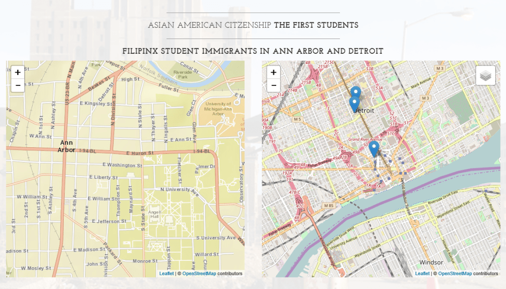
As a result, I created a beginning page with maps highlighting some of the first Filipinx immigrants’ residences in Ann Arbor and Detroit. By some stroke of luck, I managed to create a toggling button for seeing map layers of these residences by decade. Users would ideally be able to click on specific decades, gradually populating the map with the general areas of initial settlement. Markers are also written with popups that reveal the name, year registered in the Bureau of Insular Affairs, address, major/job, and school. If my luck persists, I hope to also overlay the maps with circled areas that represent urban development affecting residential areas. Populating these maps will take some time and the data will be nowhere near exhaustive, but it will provide an interesting portrait of the general areas of immigrant settlement.


Recent Comments